
Walking itineraries and verified route index across Merano
Review elevation gains, trail surfaces, meeting points, and format pricing across our four primary South Tyrol pedestrian routes before reserving your slot.
Most guidebook itineraries fail to specify trail surfaces or realistic walking times for guests who want to observe stone masonry rather than run a race. We test and map every route on foot. Whether you join a small-group city walking tour at 37–53 USD per person, book a private tour guide at 75–154 USD per person, or reserve a private group excursion with minivan or coach transport at flat 709 USD per group, you know the exact footing, elevation slope, and meeting point before departing.

Comparative route specifications across walking terrain, duration, and participant format
| Itinerary Name | Trail Surface | Duration | Elevation Gain | Meeting Point | Applicable Pricing |
|---|---|---|---|---|---|
| Historic Center & Arcades | Paved flagstone, smooth cobblestones | 1 h 30 min | +15 m (level) | Kurhaus Colonnade (Corso Libertà 33) | 37–53 USD/person • 75–154 USD private |
| Tappeinerweg Hillside Trail | Compacted gravel, stone retaining paths | 1 h 45 min | +85 m (gradual) | Porta Passiria town gate | 37–53 USD/person • 75–154 USD private |
| Marling Waalweg Canal Route | Forest dirt, timber flume borders | 2 h 00 min | +45 m (level canal) | Marlengo rail stop or hotel transfer | 709 USD flat group (minivan/coach) |
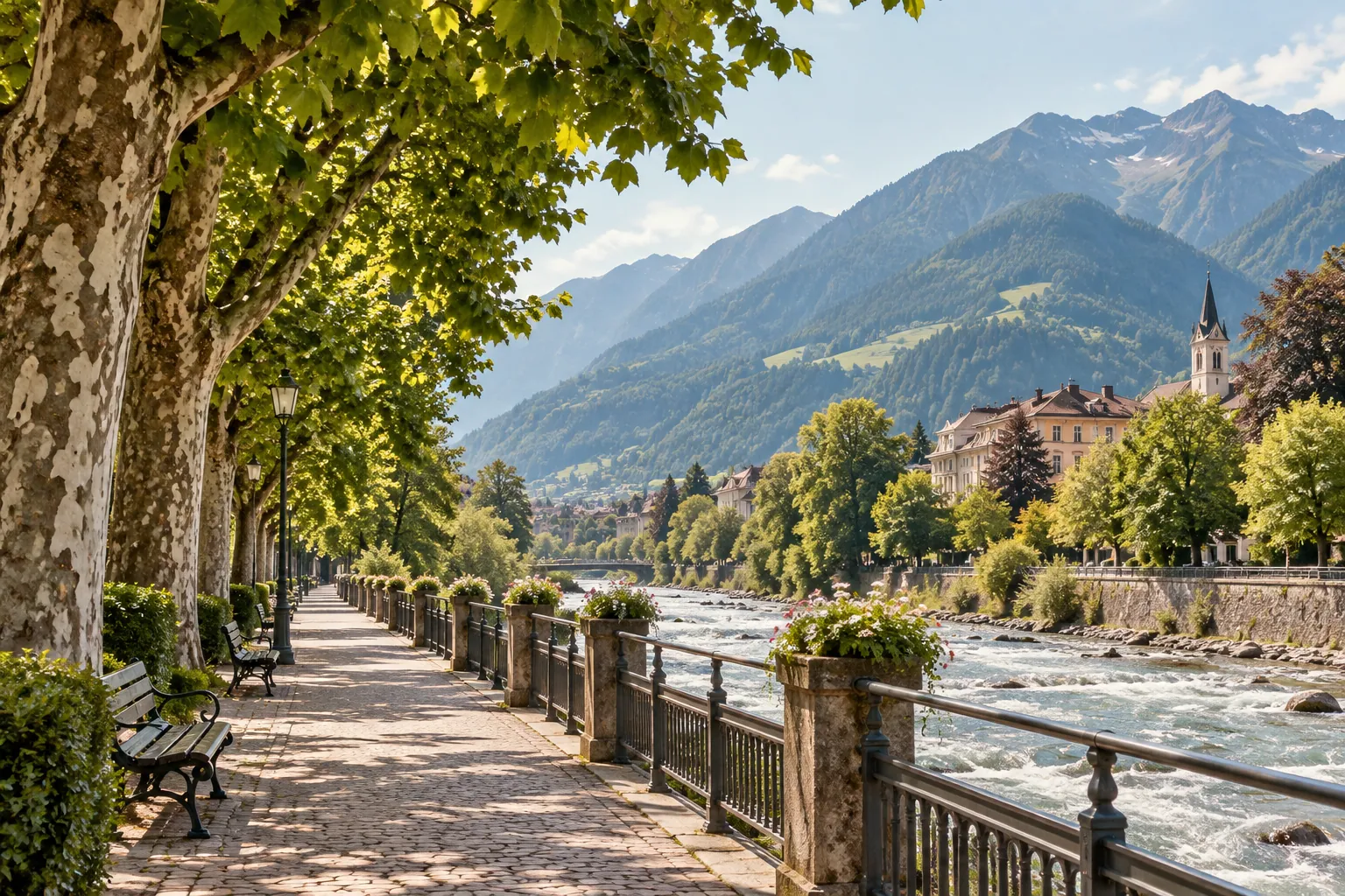
| Thermal Quarter & Riverside Loop | Smooth stone paving, riverbank ramps | 1 h 15 min | +10 m (level) | Piazza Terme (outside thermal baths) | 37–53 USD/person • 75–154 USD private |
Walking the 13th-century stone arcades and medieval courtyards of the Steinach district
The oldest residential sector of Merano sits quiet behind the fortified gate of Porta Passiria. Our guide leads small groups through the narrow cobblestone alleyways of Steinach, where 14th-century wooden shutters and pastel lime-washed walls remain free of modern retail shop windows. Because the route is paved and nearly flat (+15 m gain over 1.8 kilometres), it accommodates all walking paces comfortably.
We pause beneath the vaulted stone groin ceilings of the Via dei Portici (Lauben), explaining how medieval merchants stacked dry alpine rye and wine casks above street-level stalls. Guests use individual wireless audio receivers to hear historical explanations without standing shoulder-to-shoulder on busy street corners.

Ascending the sun-drenched botanical terraces of the Tappeinerweg promenade above town
Commissioned in 1893 by physician Franz Tappeiner to provide cure patients with clean mountain air, this four-kilometre hillside trail contours along the slopes of Monte Benedetto. Our guided segment ascends gently from the parish church via the Gilfpromenade gorge, climbing 85 metres over a wide, well-maintained fine gravel trail.
The microclimate along these southern stone walls allows Mediterranean cork oaks, eucalyptus trees, blooming oleanders, and olive groves to flourish alongside alpine pine trees. From the Pulverturm tower lookout, guests view the entire basin where the Passer river meets the Adige.

The historical water rights and unhurried walking cadence of the Marling canal trail
Built between 1737 and 1756 by the Carthusian monks of Allerengelberg, the Marling waalweg is the longest irrigation canal path in South Tyrol. The narrow canal carries glacial runoff from the Tel gorge directly along the hillside contour to irrigate the orchards below. Walking beside the running water on flat, shaded forest tracks provides a restorative counterpoint to the town centre.
Because this route sits five kilometres outside central Merano, we operate it primarily as part of our private group excursion package (709 USD flat rate) with dedicated minivan or coach transit, or as a bespoke private tour extension. The path is nearly level, shaded by chestnut woods and pergola-trained vineyards.
Verified meeting point locations and transit staging points across central Merano
Kurhaus Colonnade
Primary departure for the City Walking Tour. Our guide stands outside the central colonnade entrance wearing a discreet linen badge. Covered in case of morning drizzle.
Porta Passiria Tower
Meeting point for Tappeinerweg hillside ascents and Steinach medieval walking tours. Direct access to the Gilf gorge path.
Piazza Terme Plaza
Open plaza outside the thermal bath entrance. Curb staging point for private group minivan pickups and riverside loop walks.
Select your route and reserve your walking departure
Submit your preferred route and travel window. We confirm availability, guide assignment, and exact meeting instructions within 24 hours.